The Parador was good, and even facing 28°C (82°F) heat, we decided on a Parador breakfast to get us going for our journey to Belorado.
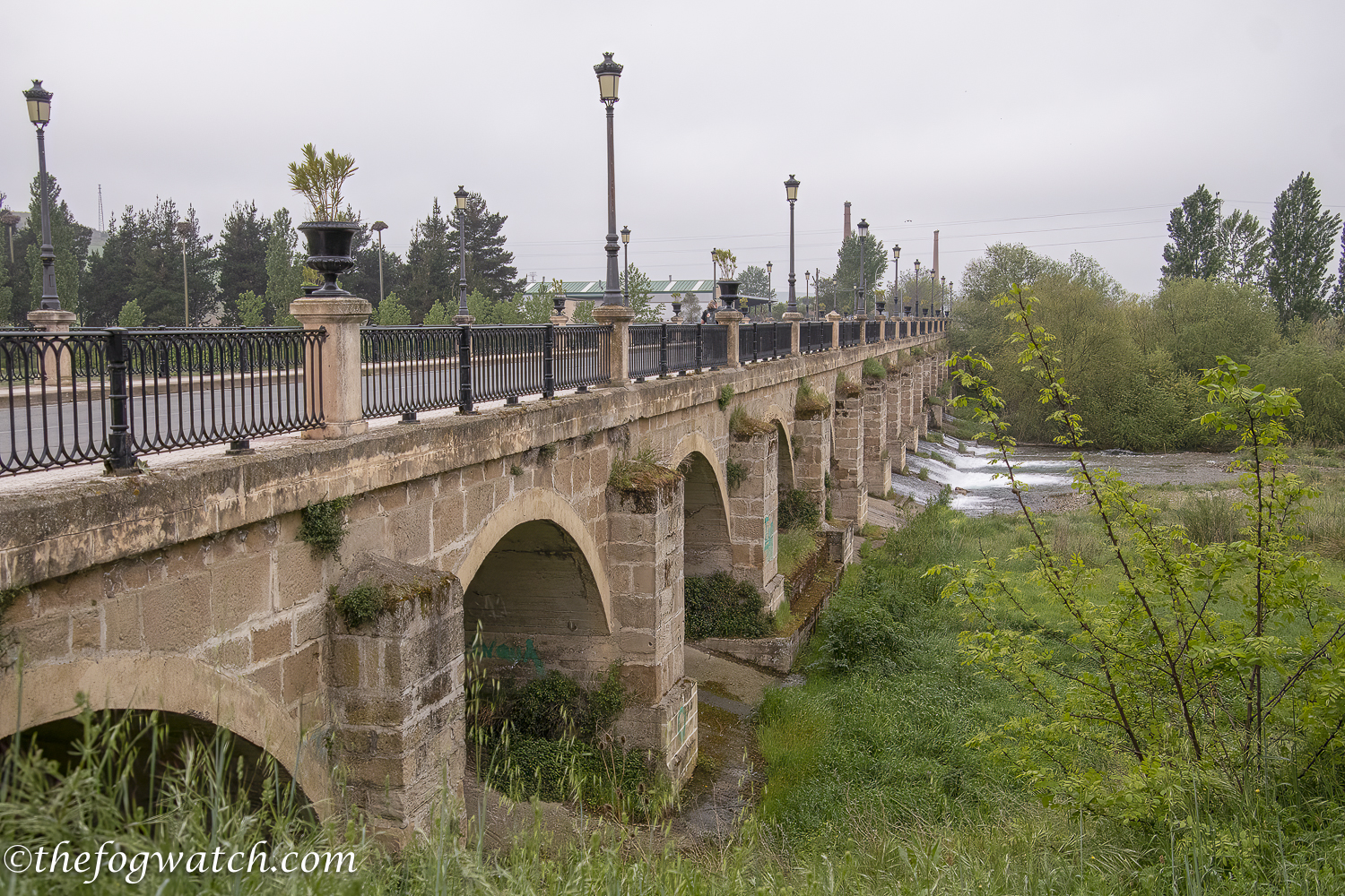
We set off over the much-repaired and modernised bridge that stood on the foundations of and still in the style of the C11th bridge built originally by Santo Domingo de la Calzada. The bridge has been much modified since then, with the middle-half constructed from ashlar with upstream cutwaters at the base of each pillar, respecting the original design dating from the C18th. The bridge is 148 metres long stretching over 16 arches. At the end of the bridge, we passed a small shrine built in 1917, on the site of previous shrines destroyed in successive flash floods. The distinctive bridge, representative of the work of Santo Domingo, features on the city’s coat of arms.
As we crossed the bridge, I found myself reflecting some more on yesterday’s walk and utterly failing to be present at this moment. By now we were climbing a steady gentle hill and I must admit I was breathing hard from the sustained effort. It’s time for a water stop.
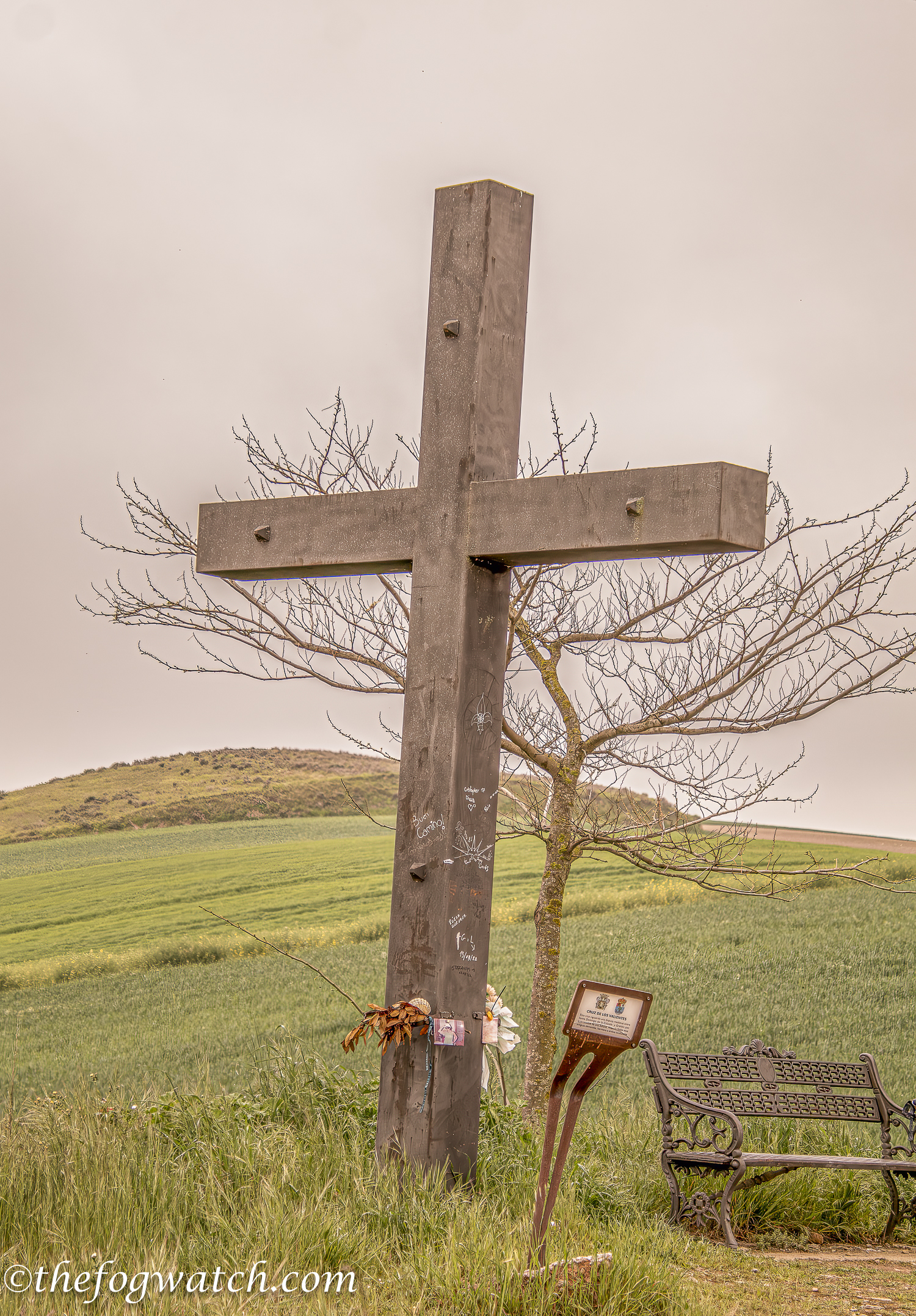
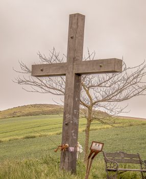
We passed a rest stop with a large cross that marked a boundary dispute between Grañon and Santo Domingo de la Calzada. Behind it, a sapling stood devoid of leaves seemingly mirroring the cross as though to enfold it and give comfort. It seemed symbolic of nature acknowledging both sorrow and forgiveness. The cross is known as the Cruz de los Valientes — the Cross of the Brave, and there is a legend as to how the dispute was settled.
The 1000 hectares (about 2400 acres) of arable land, known as a dehesa had been encroached on by Santo Domingo farmers with minor squabbles continuing for many years. Eventually, the issue came to a head and the two towns decided on a trial by champions. Each town would choose one combatant, both to be unarmed.
Santo Domingo chose a seasoned warrior brought up on a select and disciplined diet. Grañon chose Martin Garcia, a simple farmer brought up on red kidney beans and other local produce. On the appointed day, Santo Domingo’s fighter was oiled up to stop his opponent from being able to grip the fighter. Both were stripped naked for the fight. The story goes that Garcia solved the slippery problem by inserting a finger into his opponent’s anus and was thus able to pick up Santo Domingo’s fighter and toss him some distance, and with that, the battle was won in Grañon’s favour.
To this day in August each year, a celebratory pilgrimage takes place to the Cruz de los Valientes, the supposed site of the battle. Flowers are left at the cross and red kidney beans are eaten. I’m not sure what the moral of the story is unless it’s: no matter how slippery your opponent, their arsehole attitude will be their undoing.
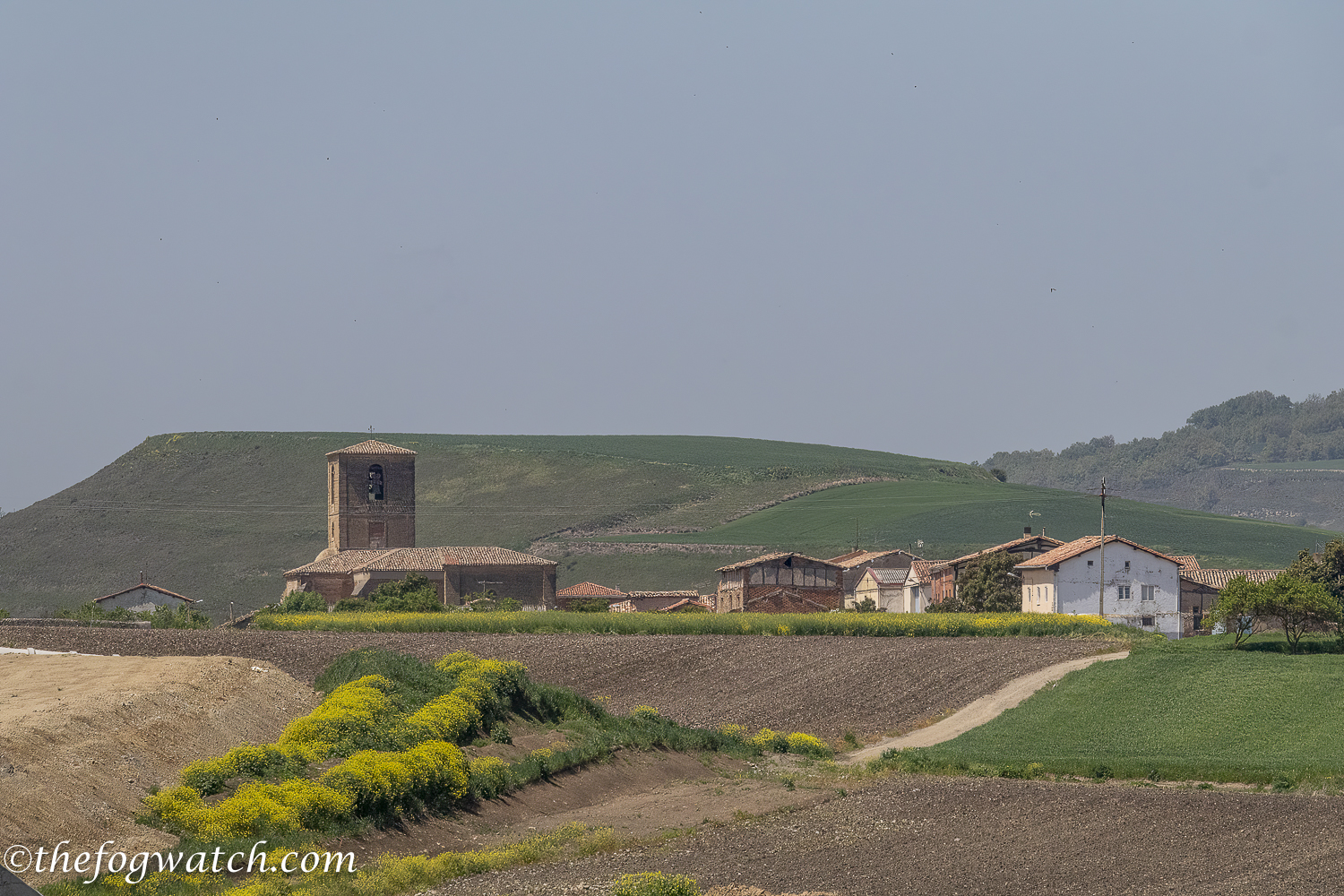
Grañon is documented as far back as the C9th when the king of León ordered a castle, named Mirabel Castle to be built on a hill near the village. Records suggest it was built between 885 and 889. The castle was to defend against attacks by the Moors. With this protection, a hamlet developed, and when Santo Domingo re-routed the Camino de Santiago in medieval times from the old Roman road, directing it towards Burgos, Grañon with its monastery of San Juan became an important Pilgrim rest and the town grew.
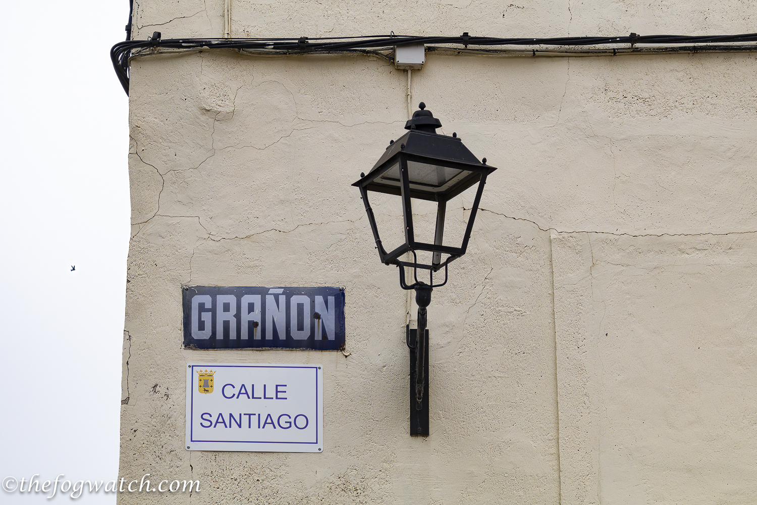
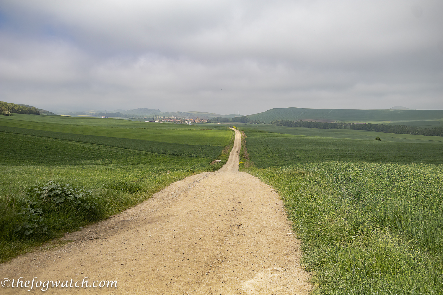
We climbed steadily towards Grañon on a well-made path making a steady rise, fall, then rise to Grañon. As we entered the town we saw the phallic boundary marker, and found a cafe van selling freshly squeezed orange juice — delicious!
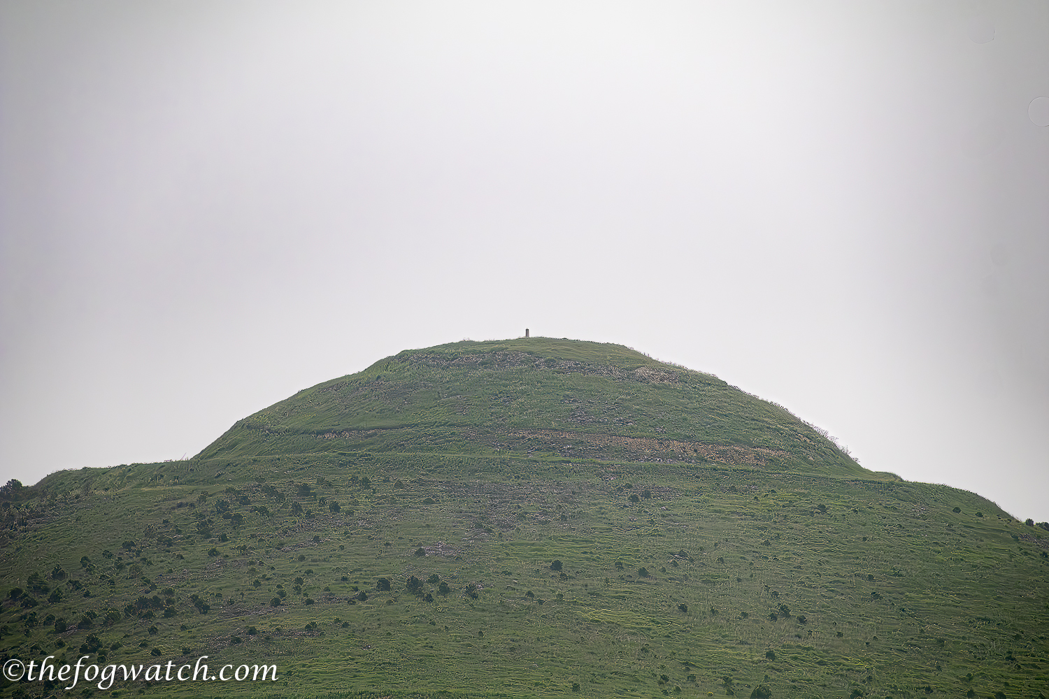
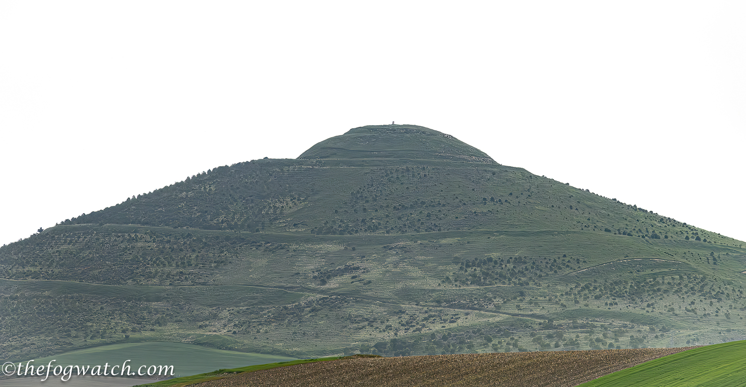
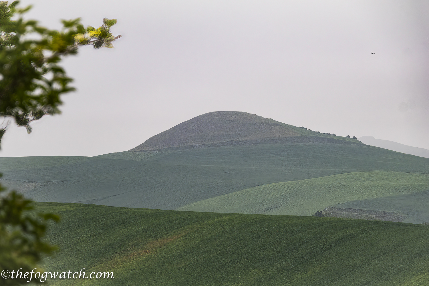
As I looked around at the distant hills I noticed what appeared to be a couple of regular ridges – too regular for natural formation. I took a couple of photos, before a local noticed my interest in the hill and told me he was a local historian. He explained that there was a medieval tower there for signaling in case of attack. I thought that the earthworks were a bit more substantial than just a path to a signal tower, but perhaps they were tracks carved into the hills to enable access to the towers. I noticed then that there was a series of three other possible ancient hill-enclosures on the surrounding hills. I suspect the earthworks could have predated the medieval towers by a considerable period as they would have been strategic locations before and during the Moorish invasions, I thought they could perhaps have been built on Iron-age hill enclosures — or not, as I’m sure the region’s archeologists would have researched the earthworks quite extensively.
This is Cantabrian country, and the Romans fought a sustained campaign against them in the Second Punic War. Caeser Augustus (Octavian) put his east-west road through this region in an effort to subdue the locals.
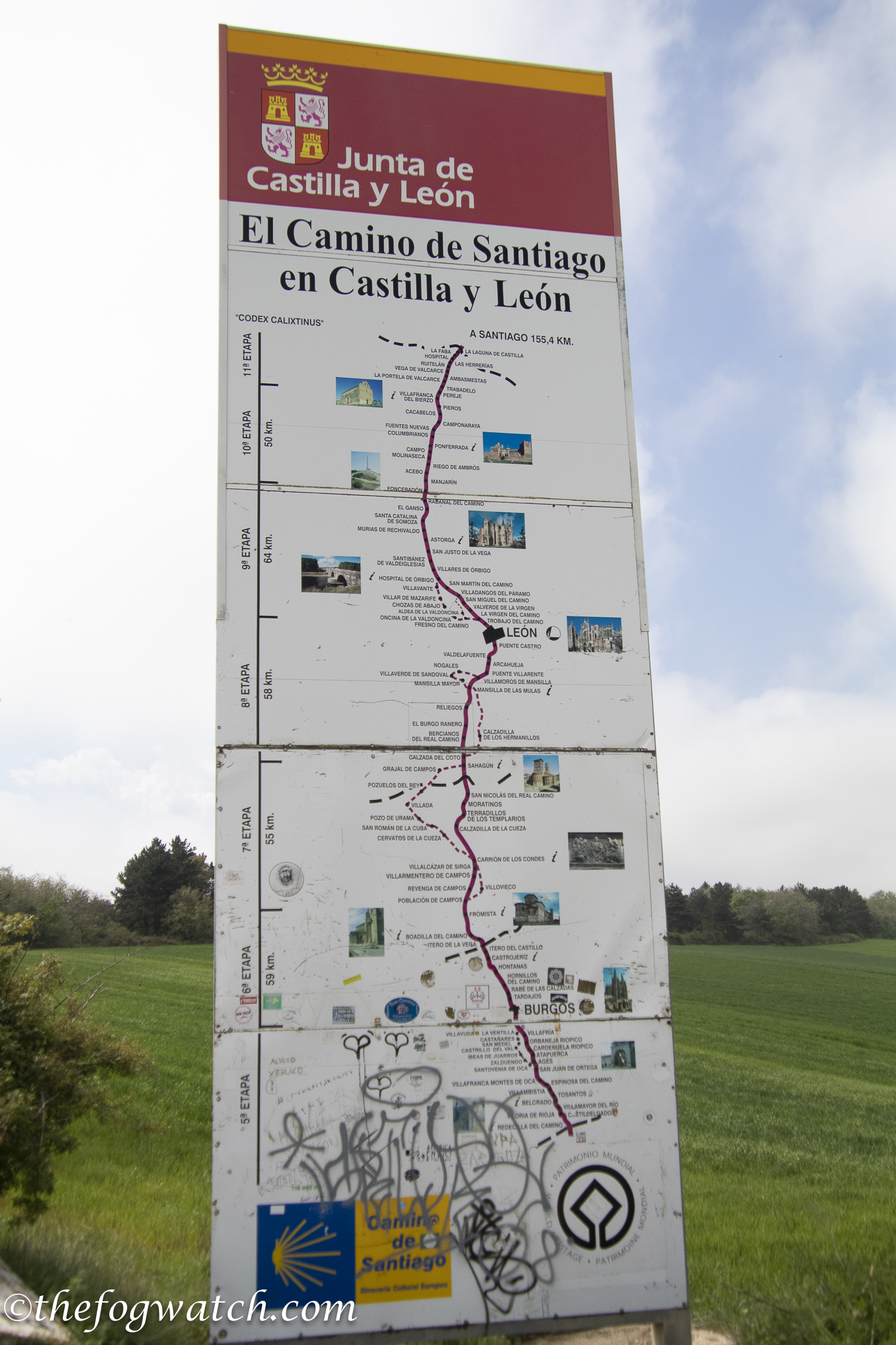
The road took us across the region boundary into Castilla y León with a route map showing the towns and villages to come.
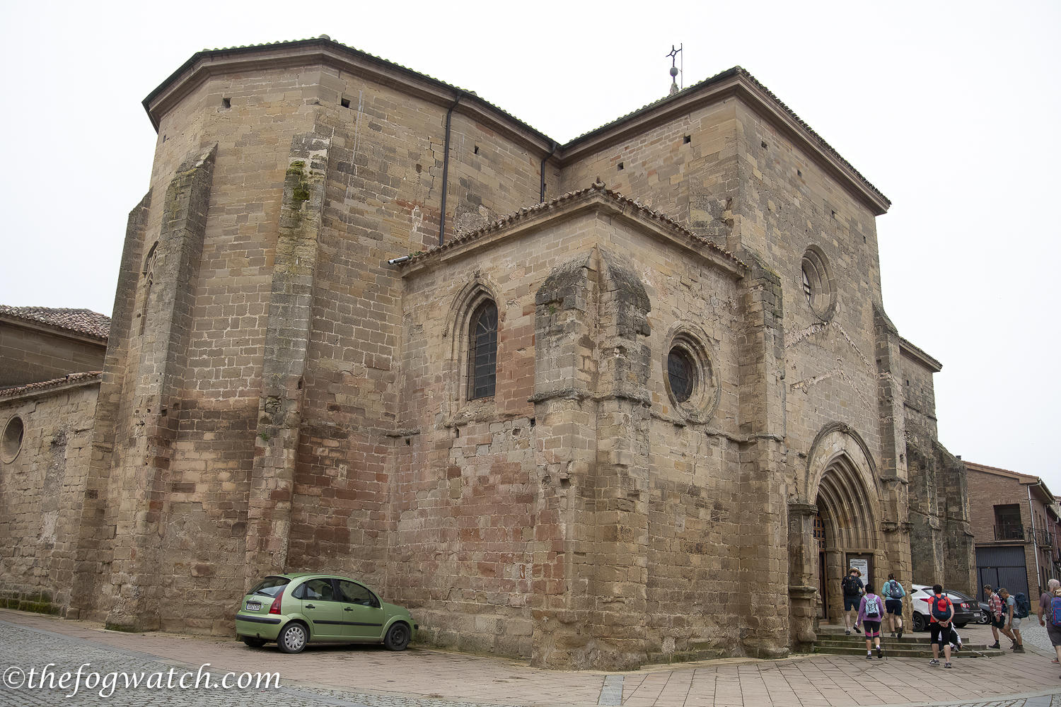
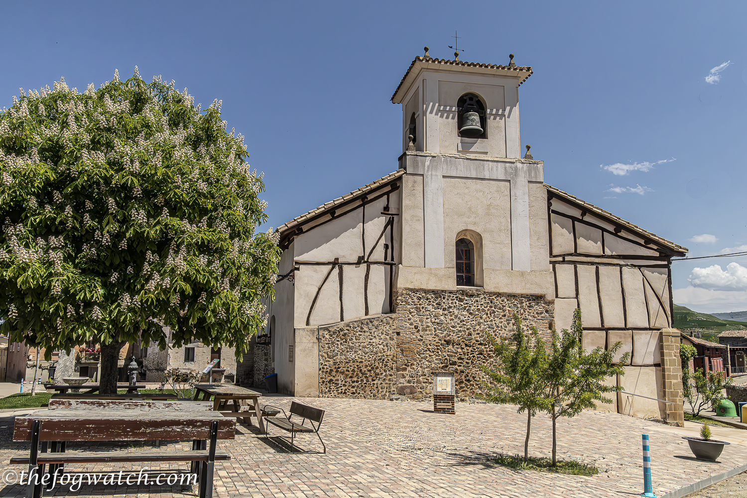
We walked up into the village and saw the famed church/albergue where pilgrims sleep in a mezzanine above the church — it is highly recommended by other pilgrims, but we had chosen a further destination for today. Opposite the church is a bar/cafe which we remembered from our previous visits as having a couple of tables and a pair of bar stools on a raised platform by the window where people can play guitars if they so choose.
Our next stop was bacon and eggs at Redicila del Camino. There was a vending machine selling blister care products, which is good to know although we were still okay from a blister perspective. The bacon and eggs were delicious – just what we needed to give us strength for the next section.
We met an Austrian couple, Pieta and Maryanne. Their conversation helped carry us on through a stretch of road walking. As the trucks passed us along with cars, I reflected on the way the roads connect people together, linking us in a vast network of logistic supply and cultural exchange, dating back to the Romans and beyond. To paraphrase Lao Tzu, it is these spaces and the roads between the towns and villages that make the towns and villages possible. Without connectivity, there would be no sense of community, nor a means to sustain them.
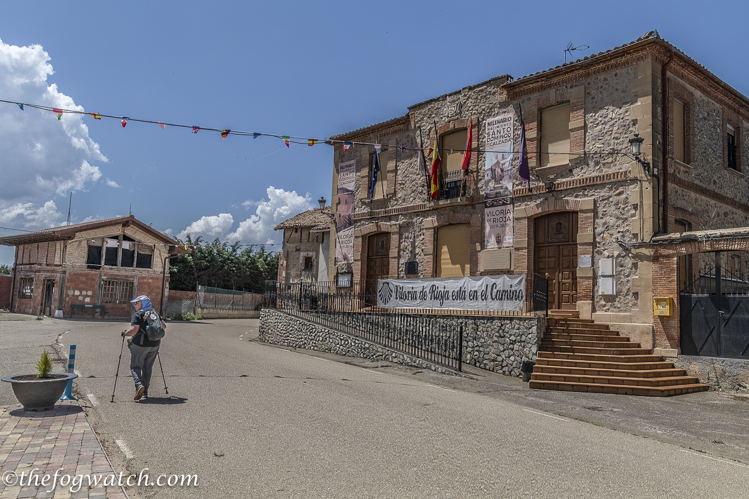
As we entered Viloria we anticipated perhaps a cafe con leche, but nothing was open. By now the day was hot and we were struggling a bit on our longest walk to date on this Camino. We refilled our water bottles at the fuente next to the much-restored C13th church and continued on.
At length, we arrived in Belorado at 5.40 pm. We had phoned ahead to reassure our host that we were still coming. The town was deserted as it was siesta time. But we needn’t have worried. Our key was waiting for us in the foyer in an envelope with our name on it. We showered and washed our clothes and had dinner at the hostel — the ensalada mixta was just what we needed to replace our lost electrolytes.
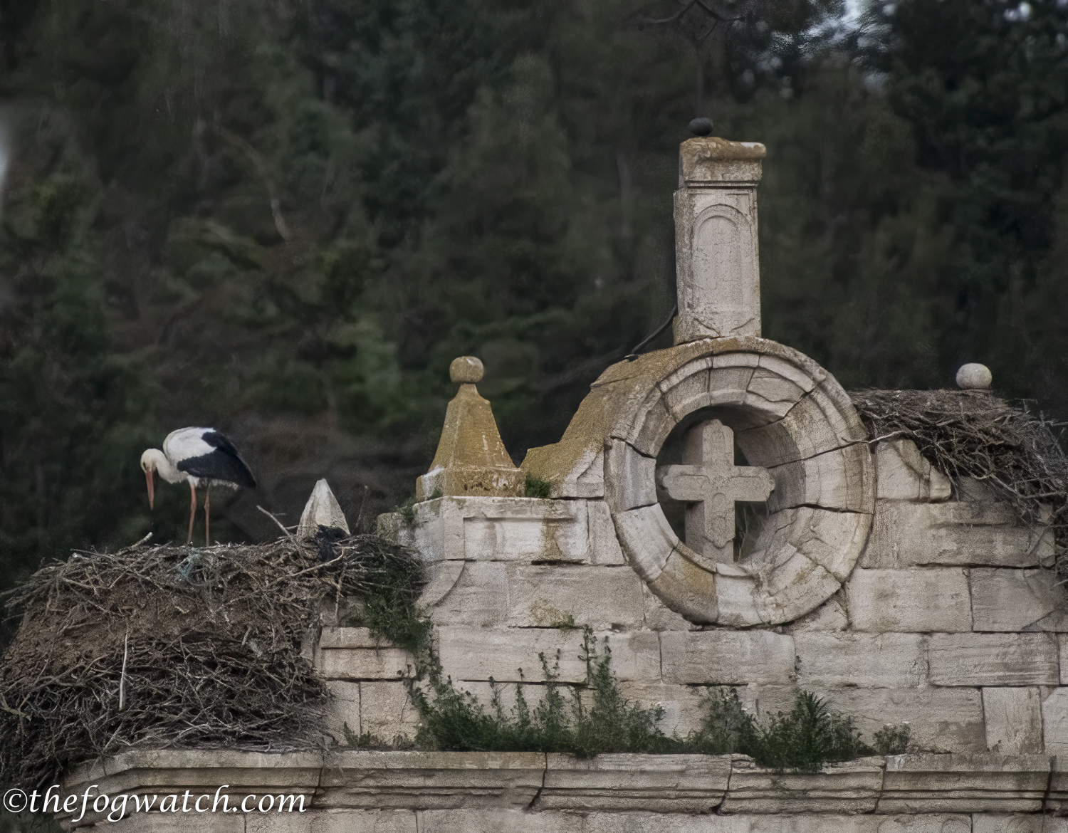
As the sun went down we watched the storks returning to their nests with the sound of clacking beaks. The adults fed their young and as darkness fell, so did the sounds
It had been a hot walk and the longest we had done so far on this trip. Our journey today took us from medieval wireless communication technology, to the roads that service the towns and infrastructure needed to sustain the Camino, we thought a lot about how the roads are necessary — and have been used since the Roman conquest — to provide physical communication networks. Even the irrigation channels follow the design of the Roman aqueducts, using a 1.5% – 3% grade so the water flows neither too fast nor too slow — very similar to when I measured the angle of the Aqueduct in Pompeii to find the same angle again and again. And well, it has been a long day — time to sleep.
I enjoyed this very much, Jerry!
Thanks Allie – I’m glad you enjoyed it 🙂